|
|

Bristol was originally founded as a medieval trading
centre on an area of land eight winding miles up the river Avon.
It was perfectly situated in a well-drained and easily defended
spot on a navigable waterway. It was then known by the Saxon
name of Brigstowe or 'Place of the Bridge'. The first major extension
to the town took place around 1248 when the existing bridge across
the Avon was replaced with a stronger stone one and the area
south of the river became incorporated into the town.
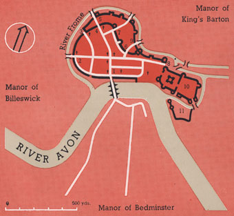
Bristol
c 1200.
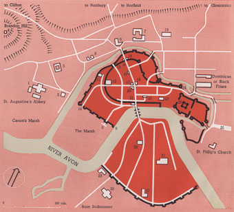
Bristol c 1248.
The new Bristol Bridge,
an impressive structure lined with merchants' houses, became
the 'old bridge' when it was dismantled in 1761 and replaced
with a wider one.
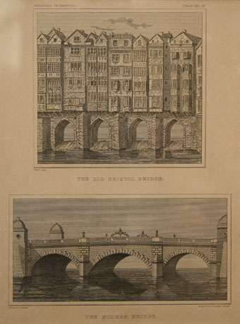
Old and new Bristol bridge (Bristol's Museums,
Galleries and Archives).
Bristol, which became
an independent city and county in 1373, slowly grew, achieving
a particularly dramatic surge in the seventeenth and eighteenth
centuries, coinciding with its lucrative involvement in the West
Indian trade, and again in the late nineteenth century with increasing
industrialisation. The following three maps show its expanding
boundary from 1250, when the population was around 3,000, to 1895,
when the population had reached over 300,000. Note how the course
of the rivers Frome and Avon have been changed over the years to
meet the commercial needs of the city.
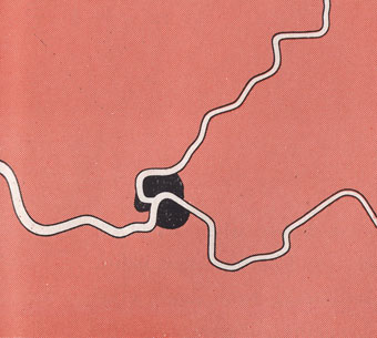
Bristol 1250.
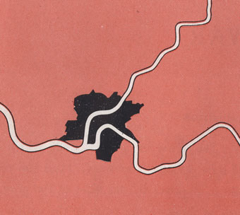
Bristol 1373-1835.
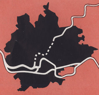
Bristol 1835-1895.
The map below shows changes in
the city boundaries and built up areas between 1200 and 1939.
The city had now begun to sprawl far out beyond its original
centre, first spreading along the main communication hubs (initially
the waterways and later the roads and railway) then filling in
the gaps in between to make concentrated, built-up areas. Formerly
rural villages and hamlets were caught up in the sprawl to form
new city suburbs.
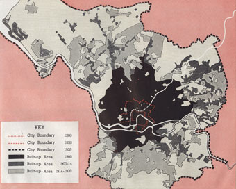
Bristol 1939.
This aerial photograph taken just
before World War Two shows the area of the city near Bristol
Bridge, the site of the old city walls marked in red.
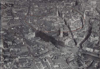
Aerial photograph
of city centre c 1939.
Much of this area suffered
heavy bombing during the Bristol Blitz. (Read about the Blitz
in the Bristol at War story on The
Siege
website.) The following drawing by J D M Harvey is an artist's
impression of how the area might have been reconstructed in the
post-war period.
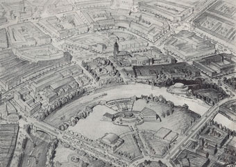
Drawing for proposed reconstruction of
area around Bristol Bridge.
Although this particular plan
did not come to fruition, Bristol was rebuilt and redeveloped
after the war and the expansion of the city continued. By the
end of the twentieth century urbanisation had stretched out from
the centre to embrace the areas of Hartcliffe and Whitchurch
to the south, and Mangotsfield and Filton in South Gloucestershire.
These two maps show the areas covered by the city and by Greater
Bristol in 2001.
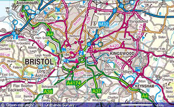
Bristol 2001 © Crown
copyright Ordnance Survey.
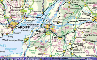
Greater Bristol 2001 © Crown copyright Ordnance Survey.
The Office for National Statistics' census
figures show that the Bristol population fell steadily between
1951 and 2001, from nearly 443,000 to just over 380,000. However,
it is anticipated that there will be a need for 150,000 new homes
in the wider West of England city-region – which includes
North Somerset and South Gloucestershire – in the next
decade. Therefore, further large-scale changes seem inevitable
with green-field development expected to take place to the north
and east of Bristol, between Bristol and Keynsham, and in the
area between the A370 and A38.
Most of the maps and photographs
in the section above are taken from the 1945 book English
City: the growth and the future of Bristol published by J S Fry and
Sons Ltd.
To read more about the growth of the city and its maps,
download the section on Mapping the City from the illustrated
guide here.
Open full-screen versions of the maps
referred to in the guide and other historic maps of the city
by clicking on the links below. Click the thumbnails to view
them larger.
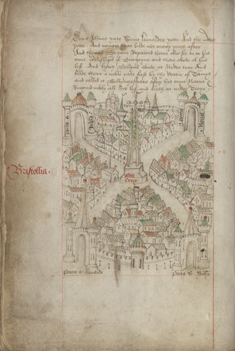
Robert Ricart's The Maire of Bristowe
is Kalendar (1480-1508) (Bristol Record
Office).
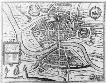
Georgius Hoefnalge's plan
of Brightstowe (1581) (Bristol's Museums, Galleries and Archives).
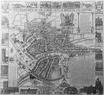
James
Millerd's 'delineation of the cittie of Bristoll' (1673), based
on his plan of 1671 (Bristol's Museums, Galleries and Archives).
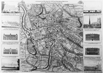
Scaled-down
version of John Rocque's 1742 plan (1750) (Bristol's Museums,
Galleries and Archives).
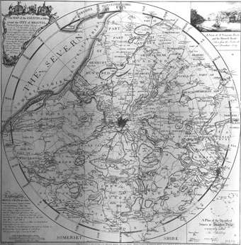
Benjamin Donn's Bristol map (1769) (Bristol's
Museums, Galleries and Archives).
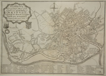
Mathews' new correct plan of the city and
suburbs of Bristol (1815) (Bristol's Museums, Galleries and Archives).
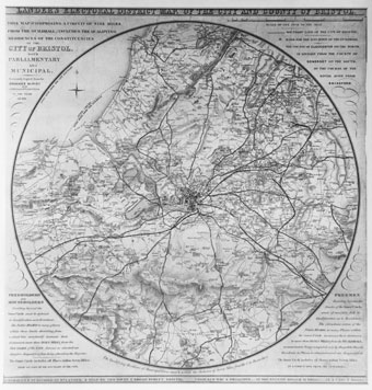
William Lander's map of Bristol
(1840) (Bristol's Museums, Galleries and Archives).
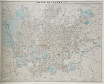
G W Bacon
and Co Ltd's map of Bristol (1900) (Bristol's Museums, Galleries
and Archives).
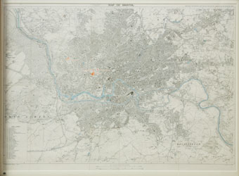
Special-edition 1930 Ordnance Survey map of Bristol
(Bristol's Museums, Galleries and Archives).
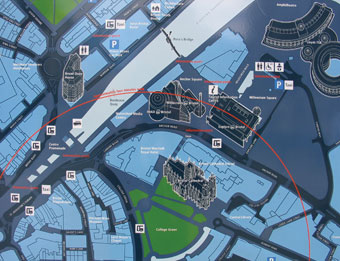
Bristol Legible City
on-street map at College Green (Jamie Shaw).
|
|

Tell us about the area of
Bristol in which you live, study or work. Submit your contribution
via the My Bristol page. |
|
|